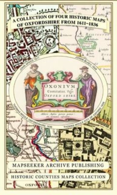
A Oxfordshire 1611 - 1836 - Fold Up Map that features a collection of Four Historic Maps, John Speed's County Map 1611, Johan Blaeu's County Map of 1648, Thomas Moules County Map of 1836 and a Plan of Oxford 1836 by Thomas Moule. The maps also feature a number of Oxfords famous historic buildings.
€26.90
Shipping in 4/5 days
Product Information
| ISBN | 9781844918140 |
|---|---|
| Publisher | Historical Images Ltd |
| Price (excl. tax) | €25.38 |
| Tax | €1.52 |
| Price (incl. tax) | €26.90 |
| Availability | 1 unit in external warehouse |
Product Description
124 x 227 x 8