
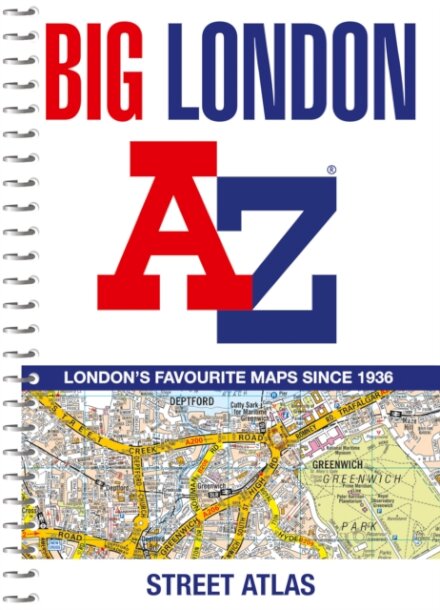
Big London A-Z Street Atlas
€19.90
Product Information
| ISBN | 9780008663506 |
|---|---|
| Authors | A-Z Maps |
| Publisher | HarperCollins Publishers |
| Format | Paperback |
| Number of pages | 320 |
| Weight (kg) | 0.840 |
| Publishing Date | 09/05/2024 |
| Price (excl. tax) | €18.77 |
| Tax | €1.13 |
| Price (incl. tax) | €19.90 |
| Availability | 6 units in external warehouse |
Product Description
Navigate your way around London with this detailed, easy-to-use and up-to-date A-Z Street Atlas.Large scale A-Z street mapping of London. This A4 street atlas offers the perfect combination of coverage and clarity, the area covered ranges from Heathrow Airport all the way to Chingford at a scale of 4.25 inches to 1 mile (6.71 cm to 1 km), while a detailed map of Central London is at a larger scale of 8.5 inches to 1 mile (13.42 cm to 1 km).The mapping features transport connections, places of interest, public buildings, postcode districts, one-way streets, Congestion and Low Emission ZonesThis comprehensive street atlas of London also includes:• An overview map of the Congestion Charging Zone, and the Ultra Low and Low Emission Zones• West End Theatre and Cinema maps• The London Rail & Tube Services MapA comprehensive index lists streets, selected flats, walkways and places of interest, place, area and junction names. Additional healthcare (hospitals, walk-in centres and hospices) and transport (National Rail, London Tramlink, Docklands Light Railway, London Underground and Overground stations, and River Bus pier) are indexed as well.