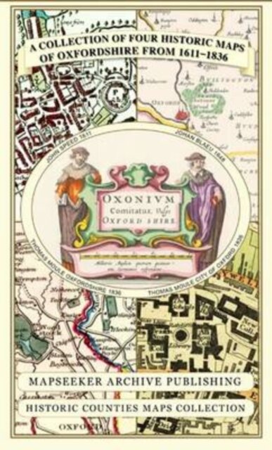
A Oxfordshire 1611 - 1836 - Fold Up Map that features a collection of Four Historic Maps, John Speed's County Map 1611, Johan Blaeu's County Map of 1648, Thomas Moules County Map of 1836 and a Plan of Oxford 1836 by Thomas Moule. The maps also feature a number of Oxfords famous historic buildings.
€ 26,90
Envio em 4/5 dias
Informação do Produto
| ISBN | 9781844918140 |
|---|---|
| Editora | Historical Images Ltd |
| Preço (iva excl.) | € 25,38 |
| Imposto | € 1,52 |
| Preço (iva inc.) | € 26,90 |
| Disponibilidade | 1 unidade em armazém externo |
Descrição do Produto
124 x 227 x 8